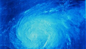
Central and Eastern North Carolinians are preparing for some possibly detrimental rainfall from Hurricane Ian.
Ian upgraded from a tropical storm to a Category 1 hurricane Monday morning (Sept. 26). It is expected to make landfall in Florida on Wednesday, according to WRAL. Ian moved near the Cayman Islands and closer to western Cuba early Monday. It is forecasted to grow to a Category 4 hurricane when it crosses the Gulf of Mexico and hit Florida’s west central coast on Wednesday.
Evacuations are expected to begin in Florida today as a State of Emergency is already in place. Flooding is expected along the Florida Keys and rivers in Northern Florida.
Meteorologists are keeping a close eye on the storm once it hits Florida when they are able to accurately determine the impact that North Carolina will have from Ian. Models currently show the storm staying inland in Georgia and South Carolina before fizzling out in the NC mountains. Ian is expected to weaken drastically by the time it hits in NC. Most likely, we will only see remnants of Ian as early as Thursday night, with up to 4 inches of rain possible by Sunday. Central and Eastern NC is expected to see several inches of rainfall. We should also prepare for flooding and some isolated tornadoes in the area as the storm breaks apart and travels north.


